Fun Facts About Geography
The map is stranger than it looks once you check the measurements. Forty facts about borders, oceans, mountains and the places that refuse to behave.
By the standard definition of a desert - a region receiving very little precipitation - Antarctica is the largest desert on Earth, at roughly 14 million square kilometres. The Sahara, at about 9 million, is the largest hot desert.
Source: British Antarctic Survey
Mount Everest has the highest summit above sea level, at roughly 8,849 metres. Measured from base to peak, Mauna Kea in Hawaii is taller, rising about 10,200 metres from the Pacific seafloor, though only some 4,200 metres of that is above water.
Source: USGS
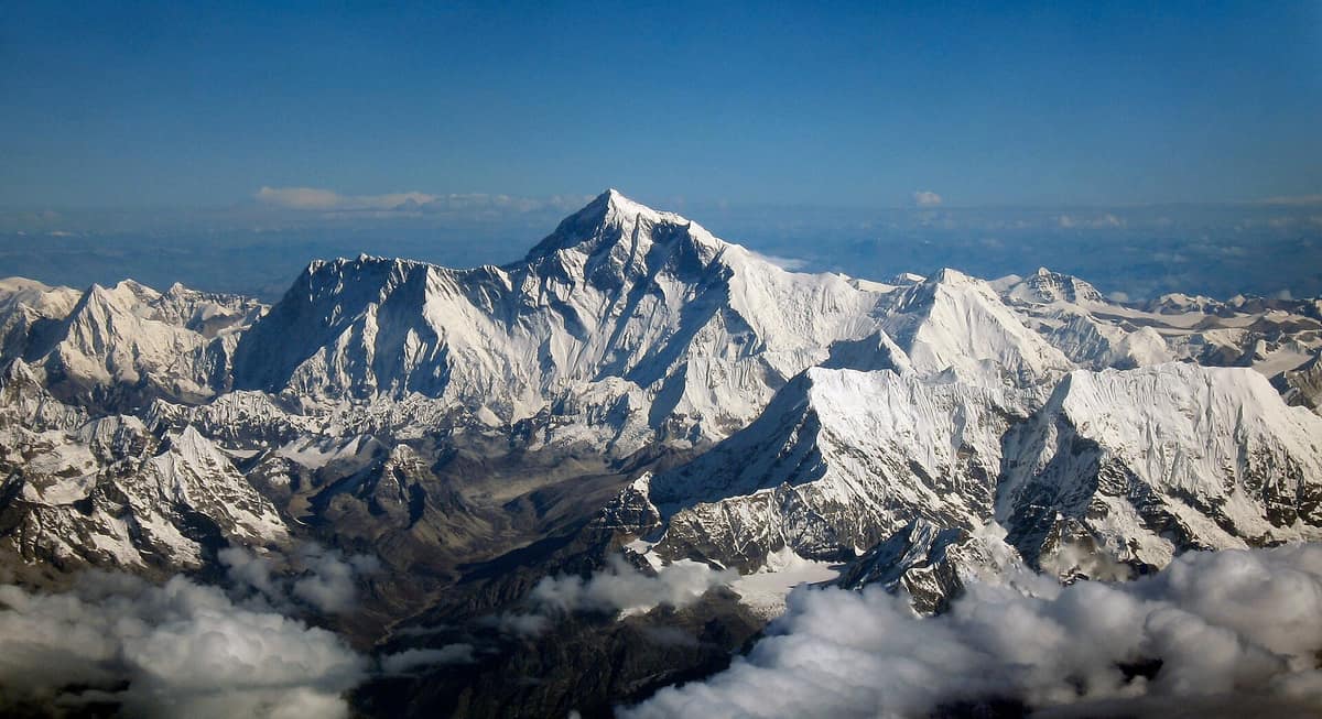
Everest has the highest summit above sea level. Mauna Kea is the taller mountain. Photo: shrimpo1967 derivative work: Papa Lima Whiskey 2 Russia spans eleven time zones, more than any other country. France, counting its overseas departments and territories scattered across the Pacific, Indian and Atlantic oceans, is spread across twelve.
Canada has the longest coastline of any country, at roughly 202,000 kilometres - a figure inflated by its tens of thousands of Arctic islands and by the fact that coastline length depends heavily on the scale of the map you measure it on.
Source: CIA World Factbook
Lesotho, San Marino and Vatican City are the only three countries entirely surrounded by a single other country. Lesotho sits inside South Africa; the other two are enclosed by Italy.
Uzbekistan and Liechtenstein are the world's only doubly landlocked countries: to reach an ocean from either, you must cross at least two international borders.
Lake Baikal in Siberia holds roughly a fifth of the world's unfrozen surface fresh water. At over 1,600 metres deep it is the deepest lake on the planet, and at around 25 million years old, the oldest.
Source: UNESCO
The Dead Sea shore sits about 430 metres below sea level, the lowest exposed land on Earth. Its water is so dense with salt that swimmers float without effort - and it has been slowly shrinking for decades.
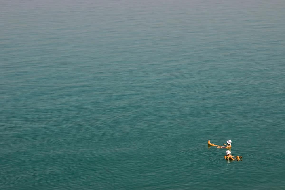
The Dead Sea shore is the lowest exposed land on Earth, roughly 430 metres below sea level. Photo: audrey_sel Indonesia is made up of more than 17,000 islands, of which only around 6,000 are inhabited. It stretches far enough east to west that the country keeps three separate time zones.
Source: CIA World Factbook
The Pacific Ocean covers about a third of Earth's surface - more area than all the land on the planet combined.
Source: NOAA
The deepest known point in the ocean is Challenger Deep, in the Mariana Trench in the western Pacific, at roughly 10,900 metres below sea level. Drop Mount Everest in and its summit would still be more than two kilometres underwater.
Source: NOAA
Both the Nile and the Amazon have been called the world's longest river. The Nile is usually given the title at around 6,650 kilometres, but the answer shifts depending on which headwater and which mouth you accept as the endpoints.
The Amazon carries more water than any other river by a wide margin - roughly a fifth of all the fresh water that rivers discharge into the oceans. Its plume of fresh water is detectable in the Atlantic hundreds of kilometres offshore.
Source: USGS
Africa is the only continent crossed by both the equator and both tropics - Cancer in the north and Capricorn in the south.
Chile stretches over 4,000 kilometres north to south while averaging under 200 kilometres wide, giving it a climate range from the hyper-arid Atacama Desert to Patagonian glaciers.
Parts of the Atacama Desert in northern Chile are among the driest places on Earth, with weather stations that have gone years at a stretch without measurable rainfall.
Source: NASA Earth Observatory
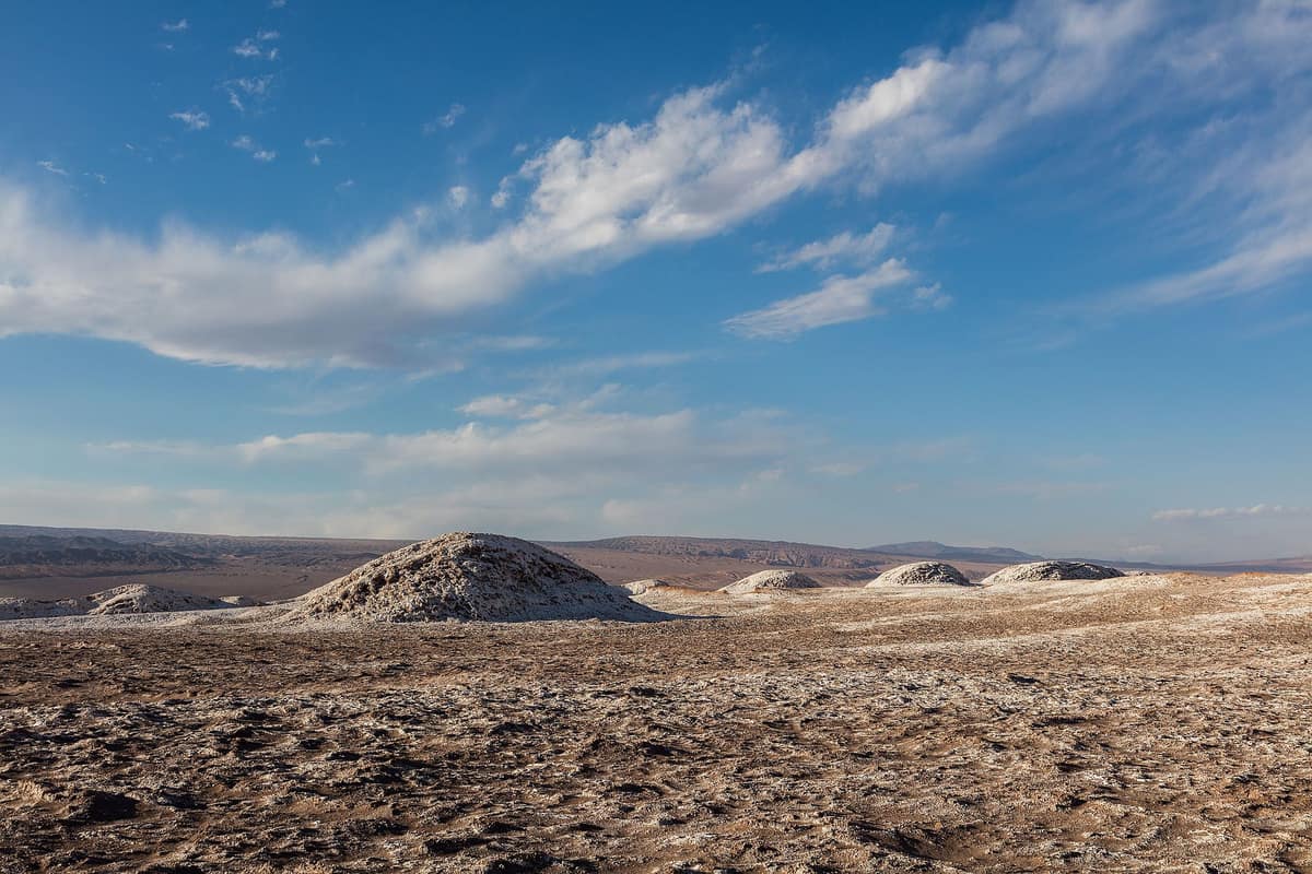
The Atacama. Some weather stations here have gone years without measurable rain. Photo: Diego Delso Vatican City is the smallest sovereign state in the world at roughly 0.44 square kilometres - small enough to walk across in well under an hour.
The Caspian Sea is the largest inland body of water on Earth by area, bordered by five countries. Whether it counts as a lake or a sea has been a matter of legal argument rather than settled geography.
Australia is the only country that occupies an entire continent, and it is also the flattest and, after Antarctica, the driest.
Source: Geoscience Australia
The Great Barrier Reef off Queensland is the world's largest coral reef system, made up of some 2,900 individual reefs and stretching more than 2,000 kilometres.
Source: Australian Institute of Marine Science
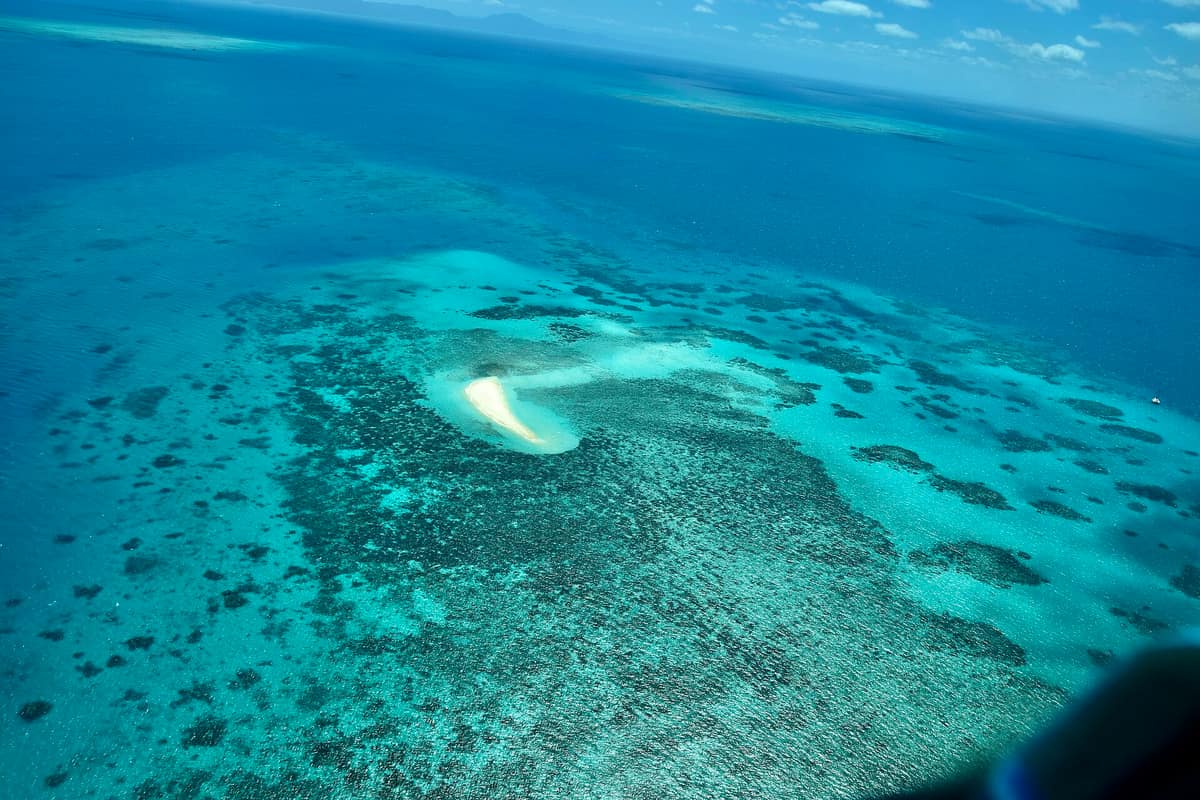
The Great Barrier Reef: some 2,900 reefs strung over more than 2,000 kilometres. Photo: Ank Kumar Iceland sits astride the Mid-Atlantic Ridge, where the North American and Eurasian plates pull apart. The island is being slowly stretched wider, and its volcanic and geothermal activity is a direct consequence.
Source: USGS
Greenland is the world's largest island that is not classed as a continent, at about 2.2 million square kilometres. Roughly 80 percent of it lies under an ice sheet.
Source: CIA World Factbook
Nepal's flag is the only national flag that is not a rectangle or a square. It is a stacked pair of pennants, with the geometry of the shape written into the country's constitution.
The Andes are the longest continental mountain range in the world, running roughly 7,000 kilometres down the western edge of South America through seven countries.
La Paz, Bolivia, sits at well over 3,600 metres and is the highest seat of national government in the world. The thin air is thin enough that visitors routinely need a day or two to adjust.
Singapore has grown measurably larger since independence through land reclamation, adding roughly a quarter to its original land area with sand and rock.
The Netherlands takes its name honestly: a large share of the country lies at or below sea level, protected by an engineered system of dykes, dunes and storm surge barriers.
Istanbul is the only major city sitting on two continents, split by the Bosphorus strait with districts in both Europe and Asia.
Point Nemo, in the South Pacific, is the spot in the ocean farthest from any land - about 2,700 kilometres from the nearest coast. The closest humans are often the crew of the International Space Station passing overhead.
Source: NOAA
The Sahara is roughly the size of the contiguous United States, spanning about a dozen countries across North Africa, and it is not all sand - much of it is rock plateau and gravel plain.
Antarctica has no permanent residents and no native government. It is administered under the Antarctic Treaty, in force since 1961, which sets the continent aside for peaceful scientific use.
Source: Antarctic Treaty Secretariat
The lowest natural air temperature reliably recorded at ground level was about minus 89 degrees Celsius, at Vostok Station in Antarctica in 1983.
Source: World Meteorological Organization
The highest air temperature officially recognised on Earth is 56.7 degrees Celsius, measured at Furnace Creek in Death Valley, California, in 1913. Several hotter claims have been reviewed and rejected over the years.
Source: World Meteorological Organization
Mount Kilimanjaro in Tanzania is the highest mountain in Africa at about 5,895 metres, and it is a free-standing volcano rather than part of a range - it rises straight out of the surrounding plains.
The Great Rift Valley system runs for thousands of kilometres through East Africa, where the continent is slowly splitting apart. Its floor holds a chain of deep lakes, including Tanganyika, the second deepest in the world.
Source: USGS
The border between the United States and Canada is the longest international land border in the world, running roughly 8,900 kilometres including the Alaska section.
Source: CIA World Factbook
Brazil borders every South American country except Chile and Ecuador - ten neighbours in total, which is more than any other country in the Americas.
Kiribati straddles the equator and the 180th meridian, spreading across millions of square kilometres of Pacific Ocean. In 1995 it shifted the date line east so the whole country would share a single calendar day.
The Baarle-Nassau and Baarle-Hertog border between the Netherlands and Belgium is one of the most tangled on Earth, with dozens of enclaves and several counter-enclaves. Some houses have the frontier running through them, marked with crosses in the pavement.
China spans about five geographic time zones but officially runs on a single one, Beijing time. In the far west, that means the sun can rise close to 10 in the morning by the clock.
For the flag of every country mentioned here, and 240-odd more, see Flags of the World.